
The India Meteorological Department has introduced an interactive public platform that brings cyclone tracks, wind, rainfall and storm-surge information onto a single mapping interface.
The Cyclone Warning and Marine Weather Services Decision Support System was dedicated to the nation on October 12, during preparations for the October–December post-monsoon season, according to the Ministry of Earth Sciences announcement.
Where is the official platform?
The government identifies this IMD Decision Support System page as the public service. It is also accessible through IMD and the Regional Specialised Meteorological Centre in New Delhi.
The launch announcement describes interactive information on observed and forecast storm tracks, intensity, wind distribution, rainfall warnings and storm surge. It also includes rainfall forecasts for river catchments.
A tool for several kinds of users
The intended audience includes disaster managers, government agencies and the public. A single interface can make related information easier to locate, but different layers answer different questions. A storm track is not the same thing as a district rainfall warning, and coastal inundation risk cannot be inferred from a wind symbol alone.
Before the launch, IMD also held a training workshop on October 9 for stakeholders and media representatives. The department said more than 650 participants joined.
What readers should check before sharing a map
- Check the issuing authority and the time of the update.
- Read the legend and the geographical area covered.
- Distinguish an observation from a forecast.
- Share the official link alongside any image, so others can find newer information.
These checks are especially useful when an old screenshot circulates without its date. A launch story about a warning service is not itself an alert that a cyclone is approaching a particular city.
Follow current official instructions
For decisions about travel, fishing or evacuation, readers should consult the latest IMD bulletins and local authorities. This report explains the new service; it does not provide a live location-specific forecast.
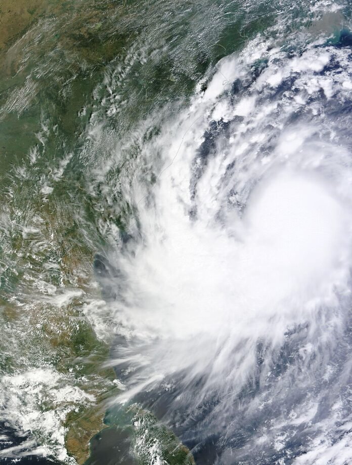
The accompanying satellite image shows Hudhud in 2014. It is included as historical context, not as evidence of a current storm.
Image credit and usage
Historical file image: Cyclone Hudhud over the Bay of Bengal, October 10, 2014. Credit: NASA WorldView / Wikimedia Commons, public domain. Not a current cyclone warning or a screenshot of the new IMD platform. Resized for display. Original image and provenance · Licence / usage terms.

The Tech Desk covers technology, artificial intelligence and cybersecurity. Stories are checked against at least two credible sources before publication.