November 19: A UN congress scheduled in Jeddah for November 16–19 places geospatial information at the centre of discussions about public decisions and digital transformation. Its official documents call for closer integration of mapping, statistical, environmental and socioeconomic information. The practical question is how that information improves decisions beyond a conference hall.
Key highlights
- Saudi Arabia’s GEOSA is the host identified in the UN documents.
- The organiser is the UN Statistics Division, acting as the UN-GGIM secretariat.
- This report explains the published agenda and does not claim unverified closing-day agreements.
What the official documents establish
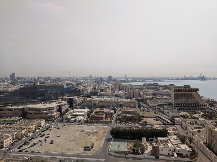
The UN announcement identifies the Ritz-Carlton Jeddah as the venue for the Third World Geospatial Information Congress. The stated theme concerns a digital renaissance and a new geospatial paradigm, with government, academic, private-sector and civil-society participation envisaged.
Those documents verify the planned setting and purpose. They do not, by themselves, verify attendance totals, speeches delivered or a final declaration. Any report of a new agreement needs the actual outcome text, with its date and participating institutions.
What geospatial information means in practice
Geospatial information connects a piece of information to a place. A location becomes more useful when it can be interpreted alongside other evidence: where people live, how services are distributed or which areas face environmental pressures. A map can then support a decision rather than simply display a boundary.
The congress’s concept note discusses bringing these different kinds of information together. The challenge is not only obtaining more data. It is ensuring that definitions, dates and geographic coverage are understood, so that datasets can be compared without creating a false impression of precision.
Why standards and accountability matter
A polished visualisation can make weak information look authoritative. Readers should ask when the underlying data were collected, what is missing and whether the result is suitable for the decision being proposed. An apparent gap on a map may reflect missing observations rather than an absence of people or need.
For governments and businesses across Asia, the value of this agenda lies in more dependable information and clearer responsibilities. Technology announcements should be assessed through published methods, documented limitations and evidence of practical use. The existence of a congress does not establish that those implementation questions have already been resolved.
At a glance
| Item | Official planning documents |
| Congress | Third UN World Geospatial Information Congress |
| Dates | November 16–19, 2026 |
| Host city | Jeddah, Saudi Arabia |
| Focus | Integrated geospatial knowledge and infrastructure |
What to watch
Watch verified outcome documents and subsequent technical programmes. Claims about new standards, commitments or spending should be tied to an identifiable adopted text.
Sources

The Tech Desk covers technology, artificial intelligence and cybersecurity. Stories are checked against at least two credible sources before publication.