
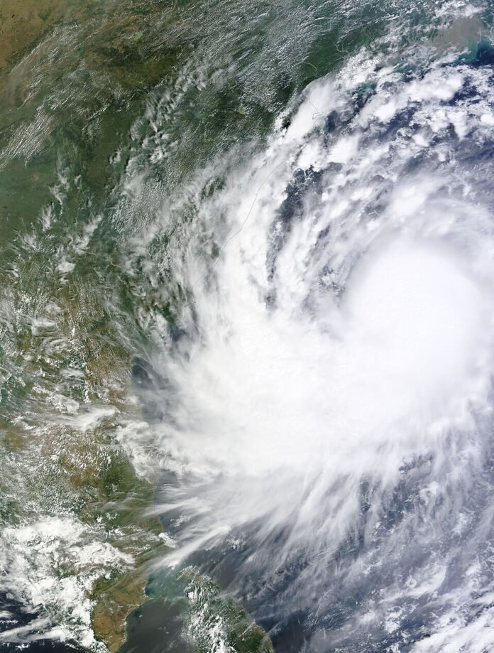
November 19: India’s weather agency has forecast Severe Cyclonic Storm Akvan crossing the north Andhra Pradesh and south Odisha coasts close to Gopalpur by noon on November 20. The India Meteorological Department’s bulletin based on observations at 5:30 p.m. IST on November 19 gives maximum sustained winds of 90–100 kmph, gusting to 110 kmph. This is a forecast, not confirmation that landfall has occurred.
Key highlights
- The IMD bulletin places the storm over the westcentral Bay of Bengal.
- The forecast crossing is close to Gopalpur by noon on November 20.
- The November 19 national weather release warns of isolated extremely heavy rainfall in Odisha on November 19–20.
- Readers should use newer IMD and district advisories for decisions after the bulletin’s observation time.
What the latest verified bulletin says
At 5:30 p.m. on November 19, IMD located Akvan around 350 kilometres south of Gopalpur and 270 kilometres south-southeast of Kalingapatnam. It reported northward movement over the preceding six hours and forecast a turn along a north-northwestward course towards the coast.
The agency’s national weather release issued earlier in the day also warned of isolated extremely heavy rainfall over coastal Andhra Pradesh and Yanam on November 19 and Odisha on November 19–20. The coastal crossing and rainfall warnings describe different hazards: rain can affect places away from the point where the storm centre reaches land.
Why the forecast time matters
A cyclone forecast is a sequence of expected positions, not a timetable guaranteed to occur exactly. The observation time identifies when the measured location applied. The forecast time identifies when the agency expects a later position or intensity. Comparing those two labels is essential when an old warning is shared online.
The table below summarises the specific November 19 evening bulletin used for this report. It should not be read as a live tracker. A later official advisory can revise the expected track, intensity or timing, and local instructions may address risks at a more detailed level.
What coastal readers should check
For a household, the useful next information is the district administration’s instruction for its own location. For a journey, it is the operator’s actual service notice. A regional storm forecast by itself does not establish that every train, flight, school or road in the region has closed. This report does not claim such closures.
Similarly, the forecast does not establish casualties or damage. Those require separate, attributable confirmation after events occur. Following official weather and local emergency information is more useful than circulating an unlabelled satellite picture: the photograph accompanying this article is an explicitly identified 2014 file image of a different cyclone.
At a glance
| Item | IMD November 19 evening bulletin |
| Observation time | 5:30 p.m. IST |
| Expected coastal crossing | Near Gopalpur, by noon November 20 |
| Maximum sustained wind forecast | 90–100 kmph, gusting to 110 kmph |
| Status of this report | Forecast information; not a landfall confirmation |
What to watch
Watch for a newer IMD bulletin and location-specific instructions from Odisha and Andhra Pradesh authorities. Any confirmed landfall or damage would be a separate development; the forecast should not be presented as an observed outcome.
Sources
- IMD: National cyclone bulletin based on 1730 IST, November 19
- IMD: National weather release, November 19

The National Desk covers India's politics, governance, security and public-interest news. Stories are checked against at least two credible sources before publication.